Guides
Part of Disaster, emergency, and conflict reporting: a practical guide for 2027
An emergency alert map means nothing without the issuing authority
How to read an emergency alert, evacuation order, or public map by checking authority, hazard, boundaries, timing, protective action, routes, and updates.
What to take away
- Confirm who issued the message and which jurisdiction it covers.
- Read the written boundaries, not only the colored map.
- Separate an alert from an evacuation order or shelter instruction.
- Record issue time, effective time, expiration, and replacement notice.
- Repeat the protective action without adding an improvised route.
An emergency message may reach the public as a phone alert, siren, news conference, web map, social post, or door-to-door notice. These forms can carry different amounts of detail. The reporter's task is to connect them to the controlling instruction and show exactly who should act. The surrounding coverage method is the disaster and emergency reporting guide.
Photo and credit
The image shows shelter preparation for a past event. It is not evidence about a current shelter's capacity, accessibility, or operating status.
Step 1: identify the issuing authority
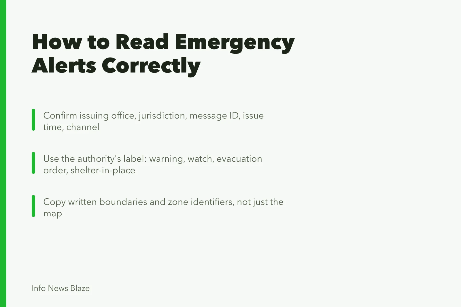
Record the office name, jurisdiction, message ID, issue time, and official channel. A school, transit agency, city, county, weather office, utility, or emergency manager may control only part of the response.
Issuing authority details to record
- Office name
- Jurisdiction
- Message ID
- Issue time
- Official channel
If a news account paraphrases an order, retrieve the original notice. A mayor's recommendation and a county emergency manager's mandatory order may apply to different areas or have different legal force.
Step 2: name the message type
Use the issuing authority's label: warning, watch, advisory, evacuation order, evacuation warning, shelter-in-place instruction, boil-water notice, road closure, or all-clear. Do not swap labels because one sounds more urgent.
Ask what action the label requires in that jurisdiction. The same plain-language phrase may have a defined local meaning.
Step 3: parse the geography
Copy written boundaries and zone identifiers. Check streets, rivers, ridges, county lines, parcel boundaries, and map legends. Note whether a route forms a boundary or is itself closed.
Maps may lag, load the wrong layer, or hide detail at one zoom level. Compare the map's update time with the written order. If they conflict, ask the issuer which controls and tell readers about the discrepancy. A public map is a chart, and the chart-scale trap in statistics reporting problems distorts a map legend as easily as an axis.
Step 4: build the time line
Keep these times separate:
- message created;
- message sent;
- order effective;
- hazard expected;
- shelter or route opened;
- message expires or is replaced;
- newsroom last checked.
Use the local time zone. During an overnight event, write the date with the time so a screenshot cannot be mistaken for a current instruction later. Time separation follows the news timeline method.
Step 5: copy the protective action
FEMA training on alert and warning message content lists the hazard, location, time frame, source, expected impact, likelihood, and protective behavior as message components. It also says an evacuation message should tell people where to go and what to take. This supports a reporting template, but the actual local authority remains the source for a specific action.
If an instruction says leave now, do not soften it to "consider leaving." If it says prepare, do not announce an evacuation. Include official help for people without transport and the stated accommodation information for disabilities, medical needs, children, and animals.
Step 6: verify routes and facilities
Call or check the operating authority for shelters, reception centers, hospitals, bridges, transit, and road closures. A location listed in an old plan may not be open. Record capacity only when the responsible operator confirms what the figure means.
Avoid publishing a shortcut that officials have not approved. It may cross the hazard area or block emergency access.
Step 7: handle phone alerts
A wireless alert is brief and geographically targeted, but delivery does not prove every recipient is inside the order area. Phones can connect to towers across a boundary, and people travel.
Direct readers to the issuer's detailed page or map. Quote the alert exactly when wording is disputed, and identify any follow-up that corrected it.
The National Weather Service's Wireless Emergency Alerts factsheet says the messages arrive with no signup, sent by government alerting authorities through mobile carriers, typically showing the alert type and time, the action to take, and the issuing agency, and it advises seeking more detail from another trusted source. The short format is a pointer, not the full order.
Step 8: retire old instructions
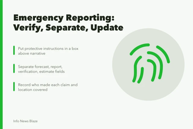
When an order expands, contracts, or ends, update the action box and headline. Add a time-stamped note explaining the change. Do not delete the old state from the newsroom log, but keep it away from the current instruction. Update notes that say what changed are a standing fix in developing news briefing problems.
Common questions
Does receiving a phone alert prove I am in an evacuation zone?
No. Check the official boundary and your location. Wireless delivery can extend beyond a precise mapped line.
Is an evacuation warning the same as an evacuation order?
Not necessarily. Use the definitions and instructions of the issuing jurisdiction.
Can a reporter redraw an official map?
Yes, if boundaries, scale, source, issue time, and any simplification are clear. A redrawn map should not add precision absent from the source.
What if the map and text disagree?
Contact the issuing authority, publish the discrepancy if it affects safety, and avoid guessing which version applies.